

What We Do
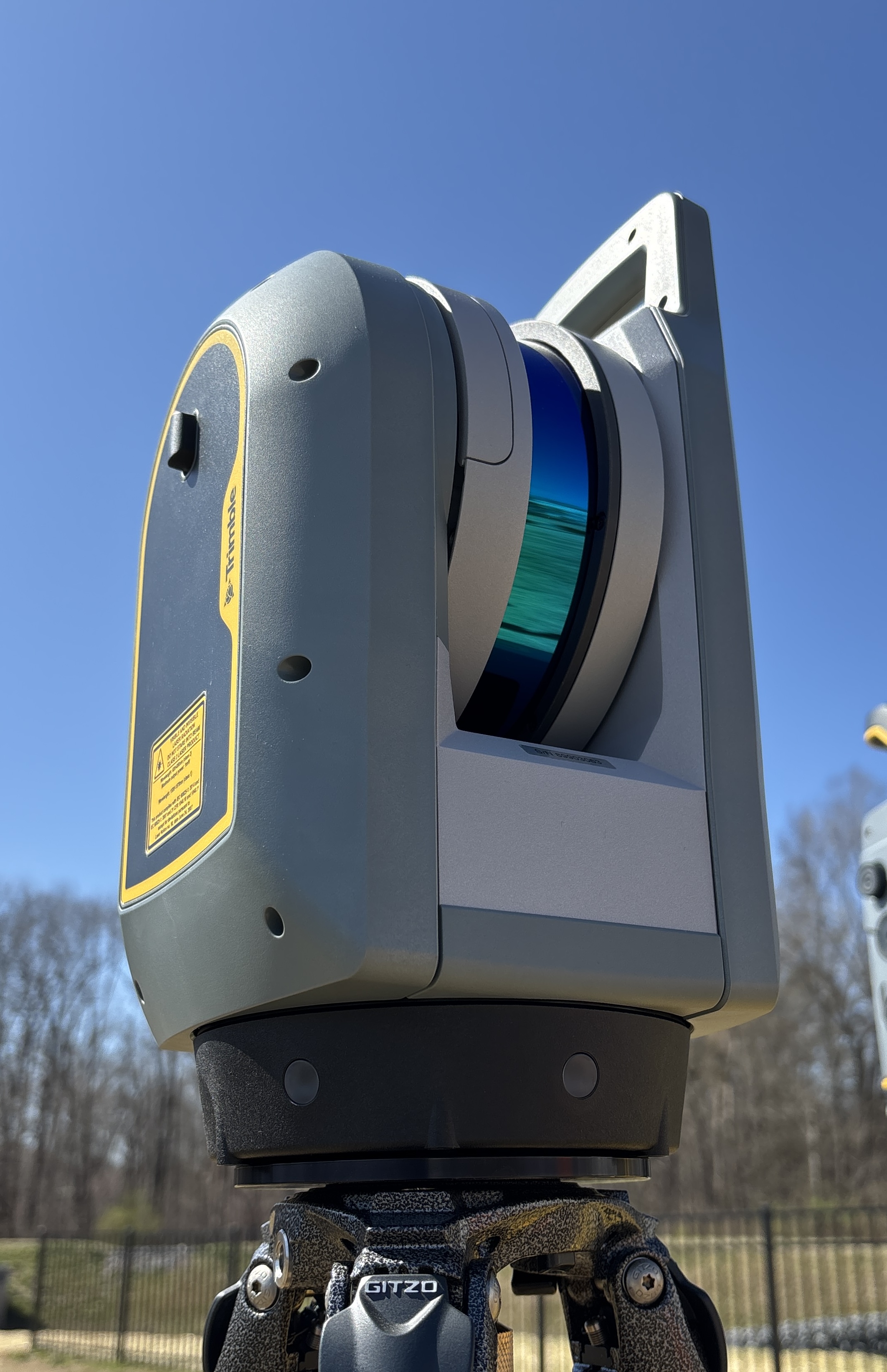
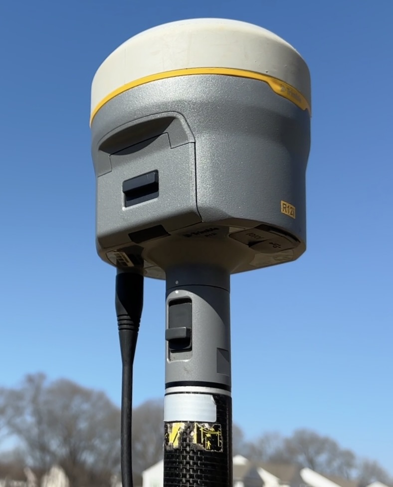
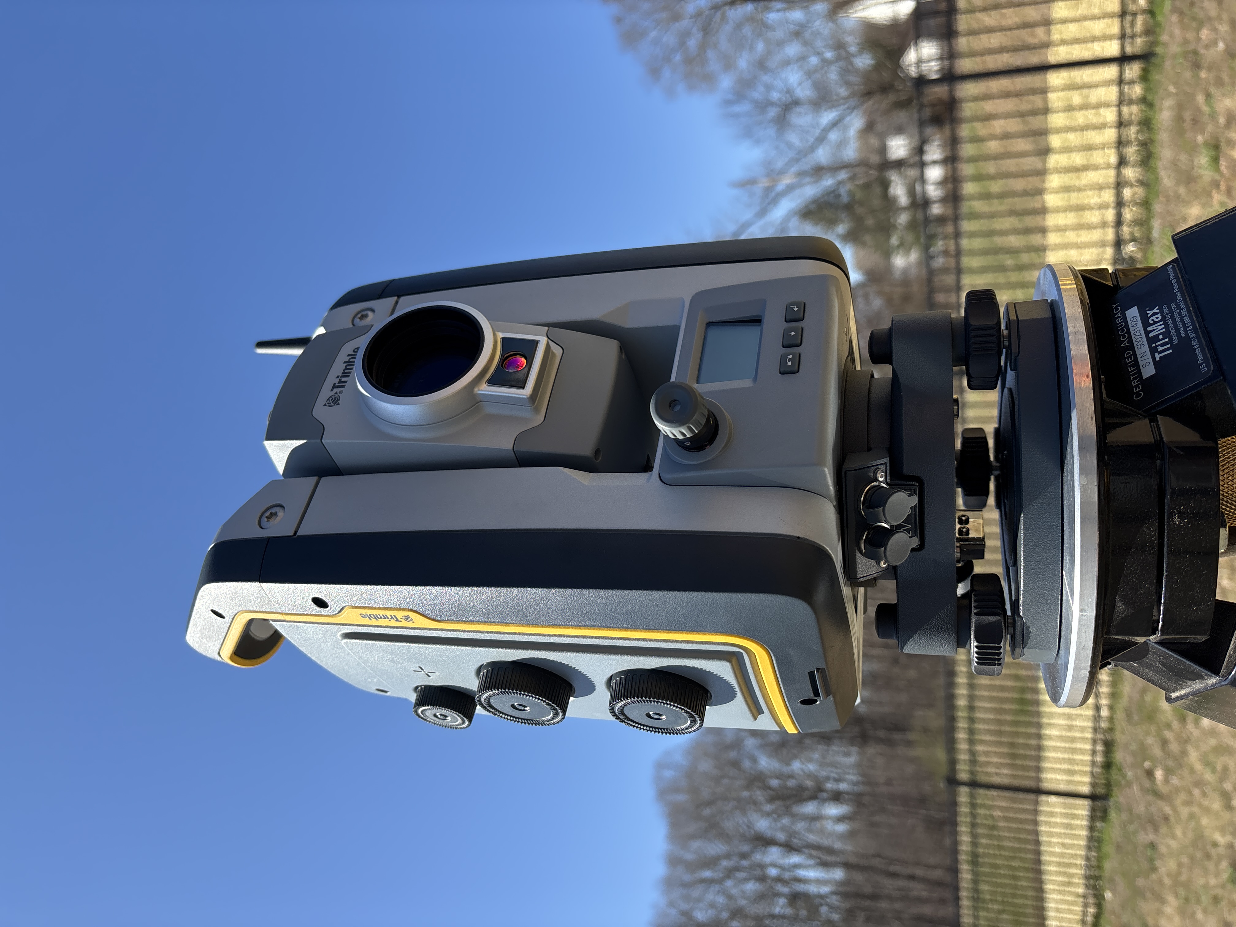
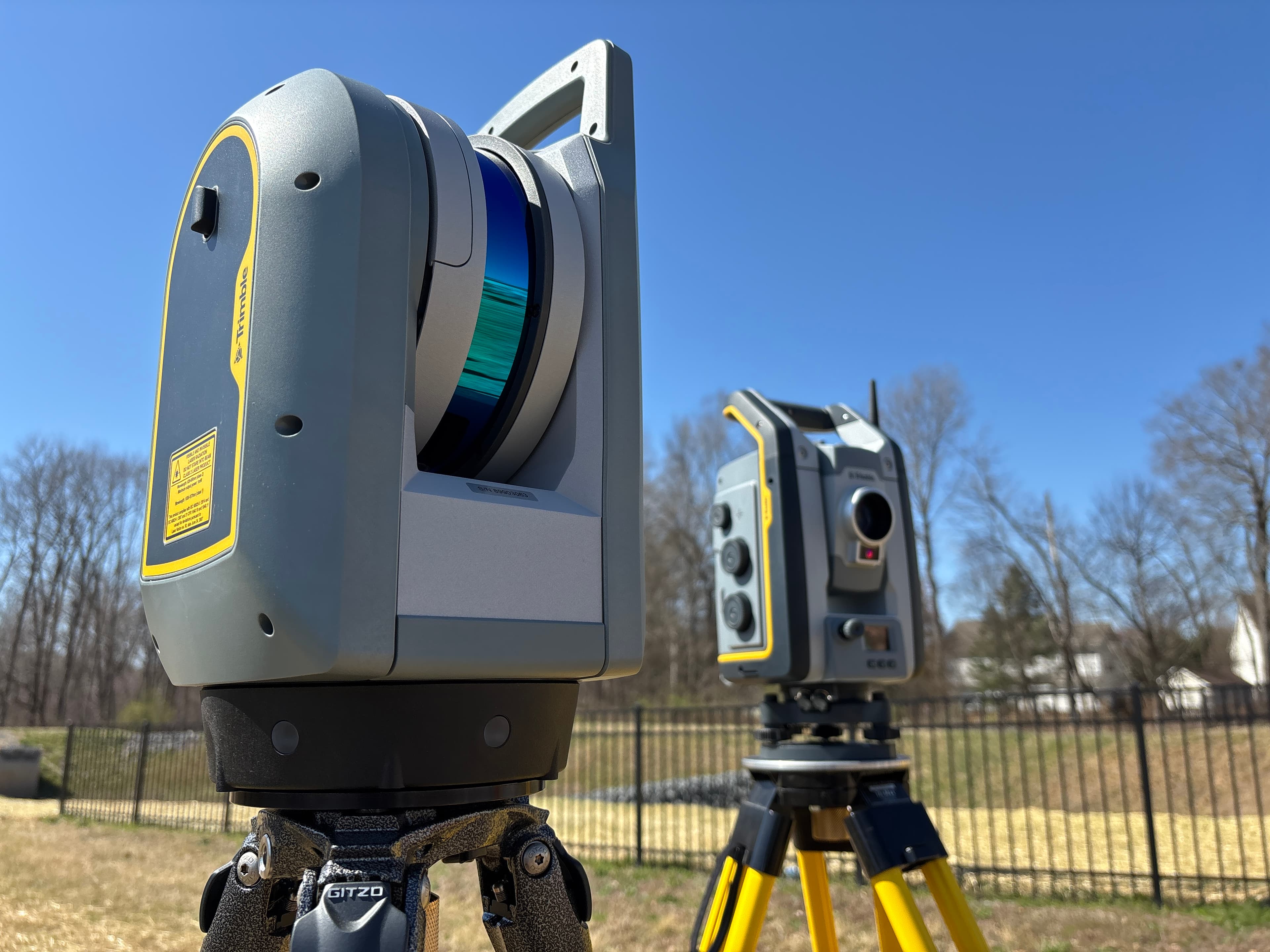
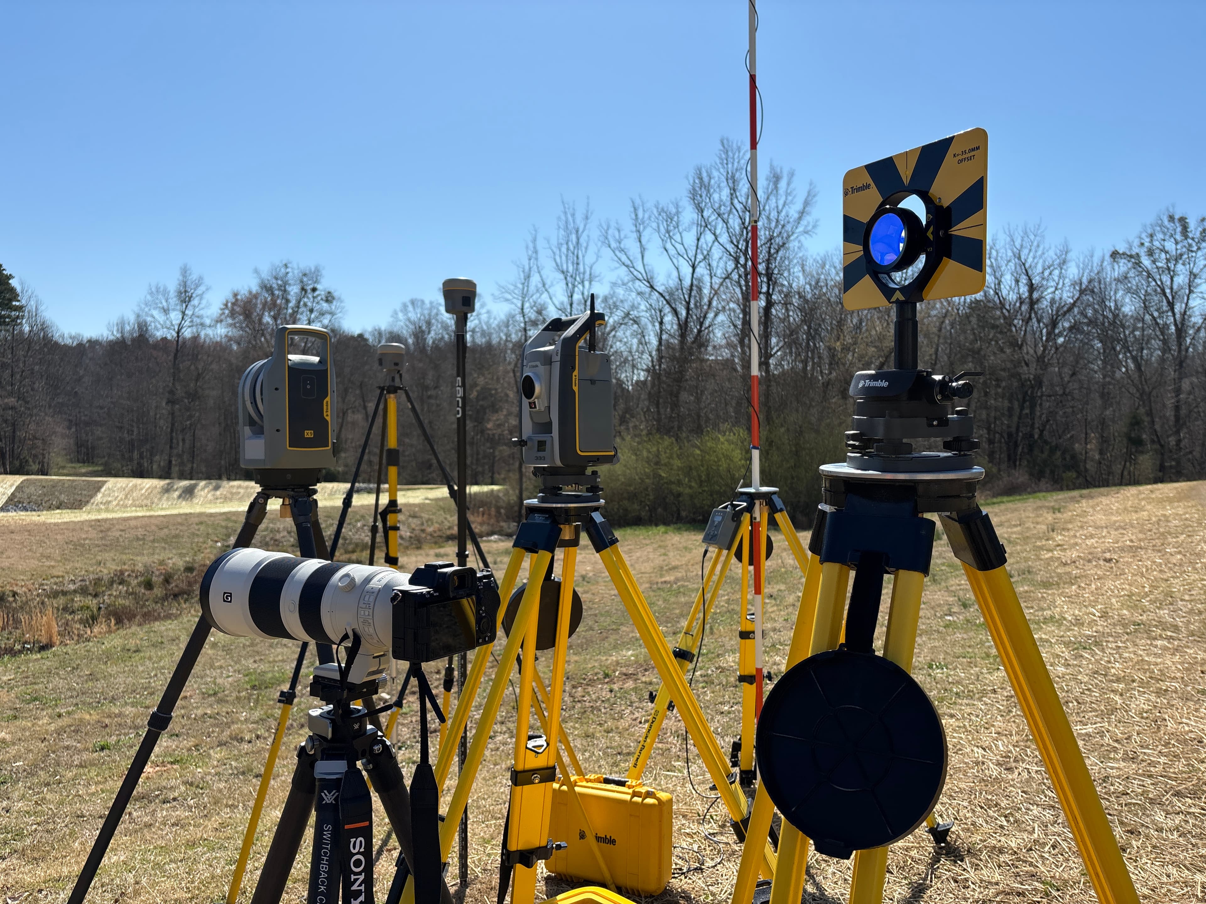
Location services are the foundation of every architectural, engineering, and land development project. Blackthorn Geomatics utilizes Trimble instruments to ensure quality data is delivered on time and within budget.
Services
- Surveying
- Laser Scanning
Equipment
Application
- Historic Preservation
- Adaptive Reuse
- Geodetic Control
- Aerial Ground Control
- Topographic Surveying
- ALTA/NSPS Land Title Surveying
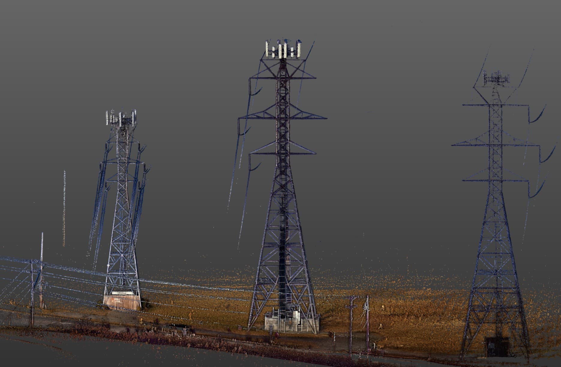
PROJECT OVERVIEW
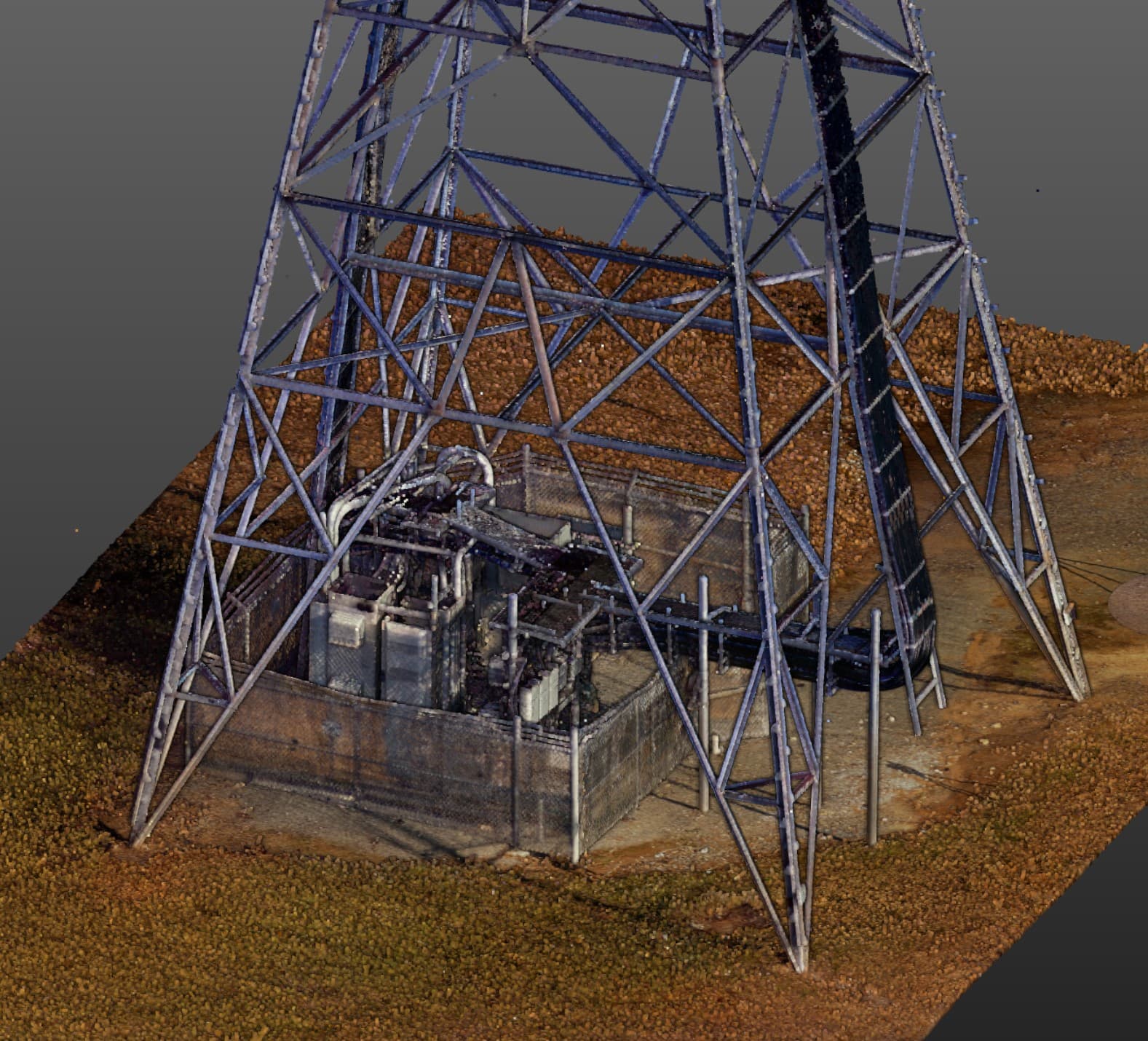
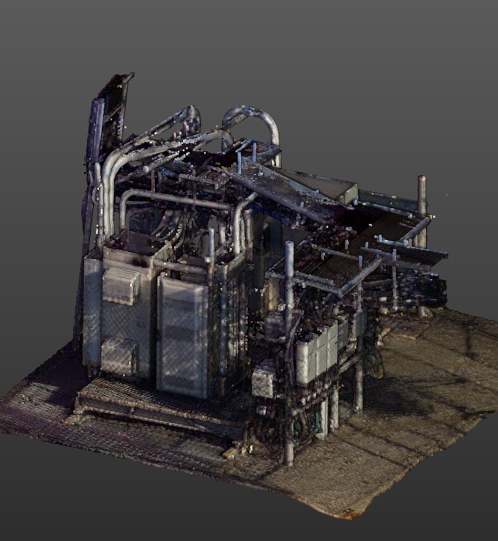
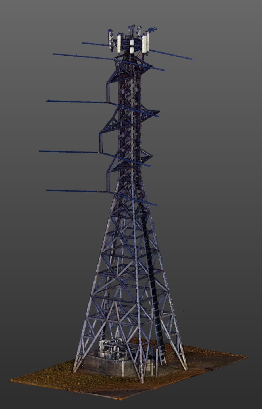
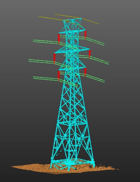
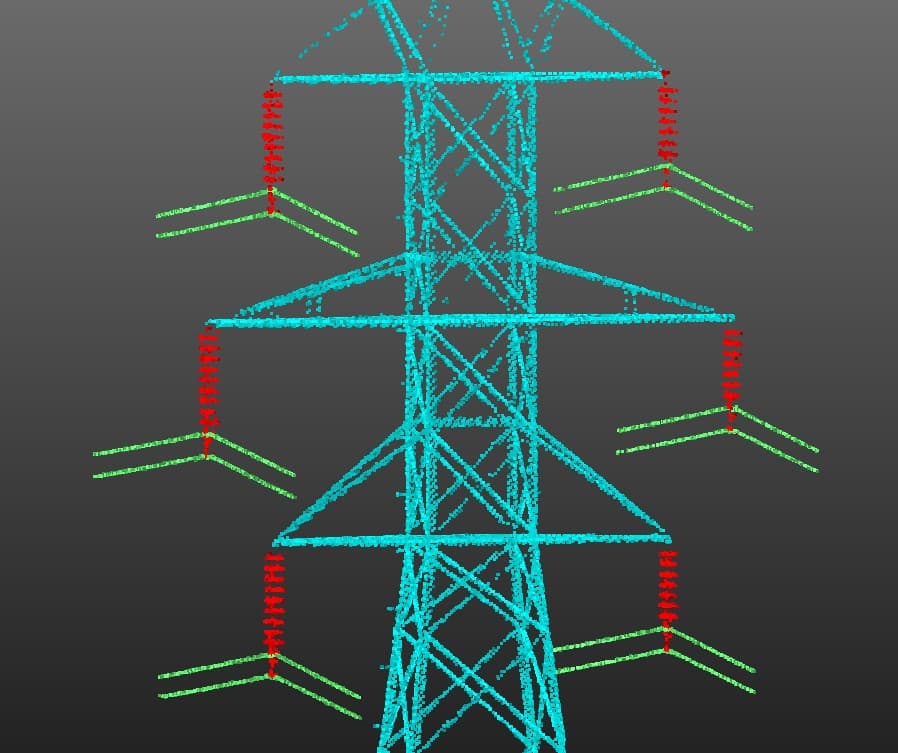
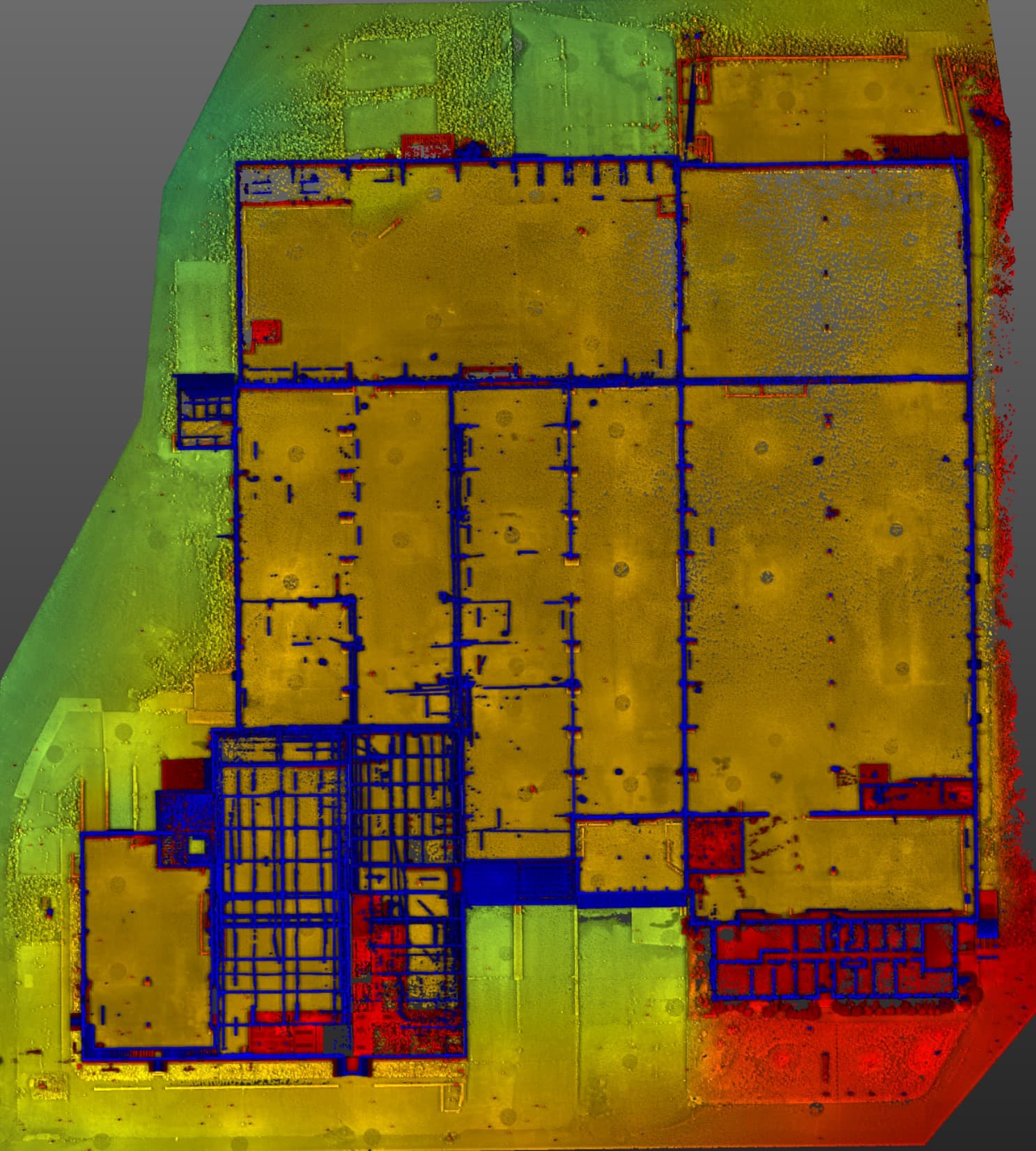
Infrastructure Laser Scanning
PROJECT OVERVIEW
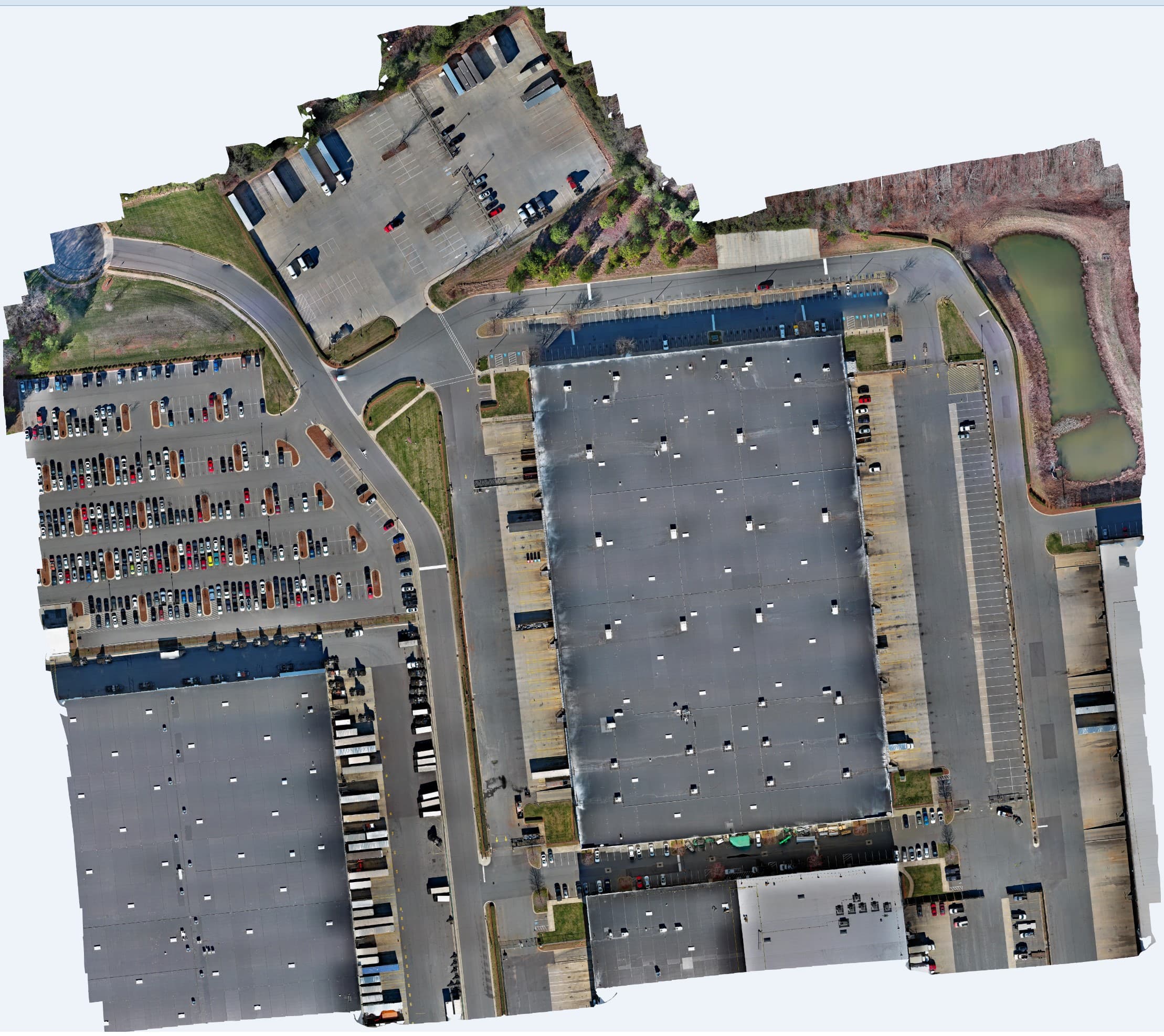
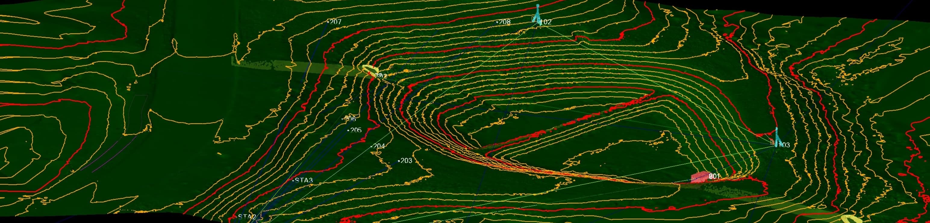
UAS Aerial Photogrammetry
PROJECT OVERVIEW
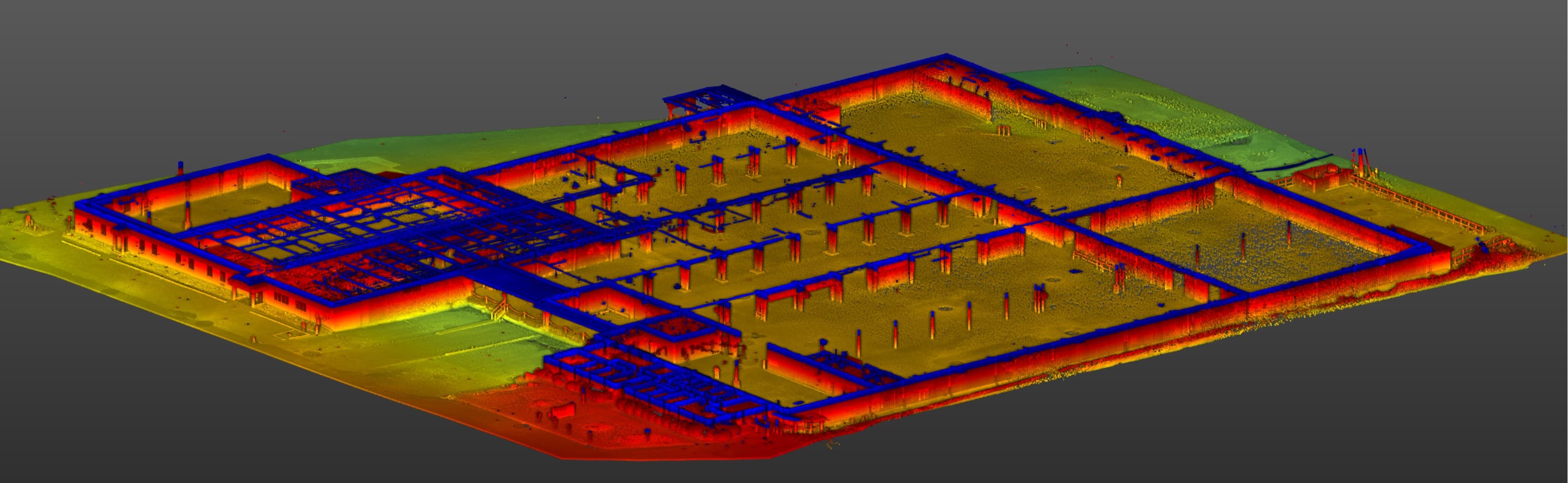
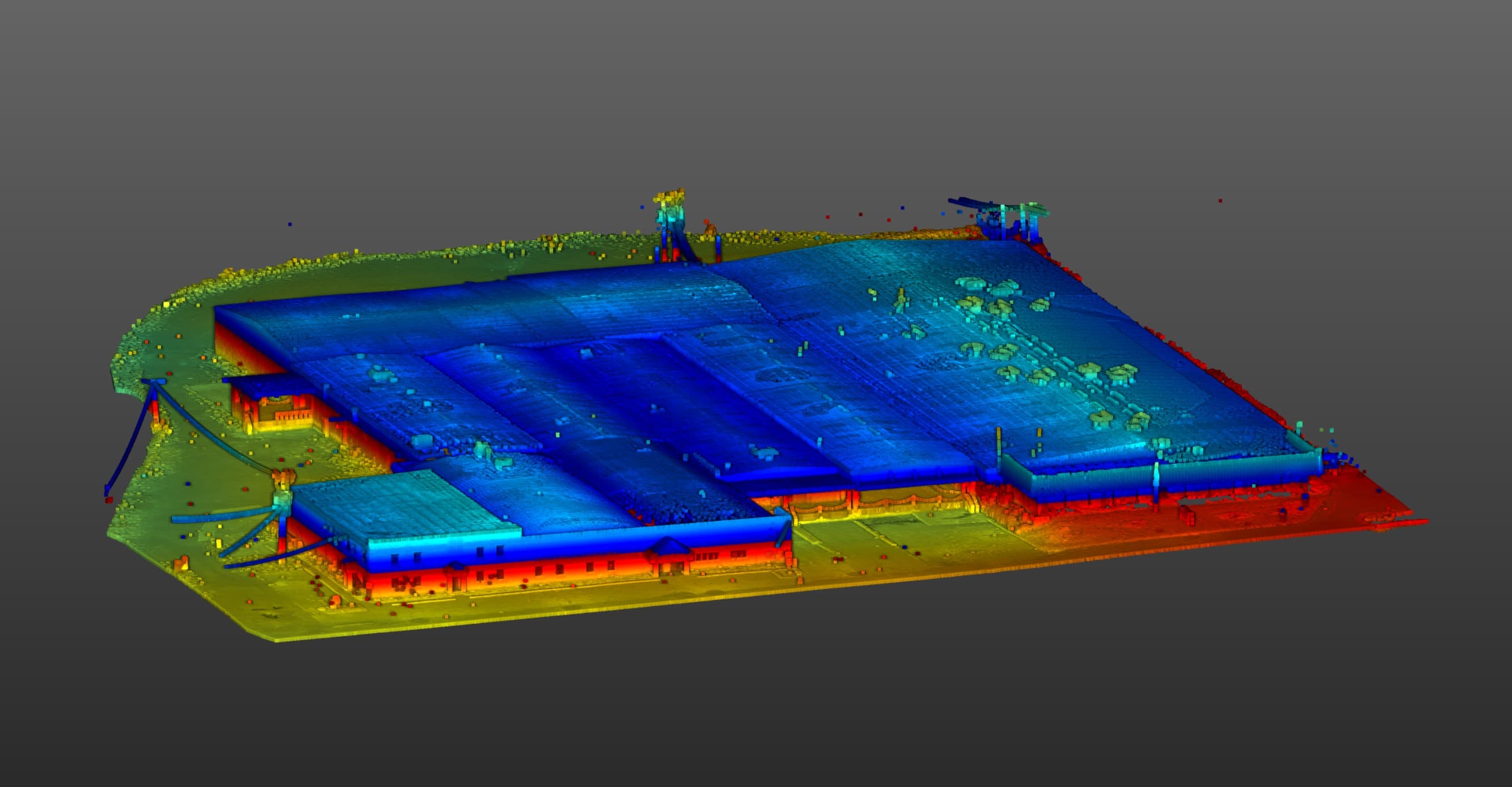
Historic Preservation & Adaptive Reuse LiDAR Scanning

Blackthorn Clients











Nathan Xiques
Founder and owner of Blackthorn Geomatics, PLLC. Work experience includes terrestrial LiDAR, mobile LiDAR, aerial mapping, land surveying, and general contracting for a combined total of more than 30 years.
Nathan has an Associate of Applied Science degree in Land Surveying, Bachelor of Science in Mathematics, and a Master of Science in Applied Mathematics with a minor field of study in mechanical engineering.
He is a Professional Land Surveyor in North Carolina (PLS), Professional Land Surveyor in South Carolina, Professional Surveyor in Arkansas (PS), Virginia Photogrammetric Surveyor (VAPS), North Carolina Certified Floodplain Surveyor (CFS), and an FAA part 107 sUAS pilot.
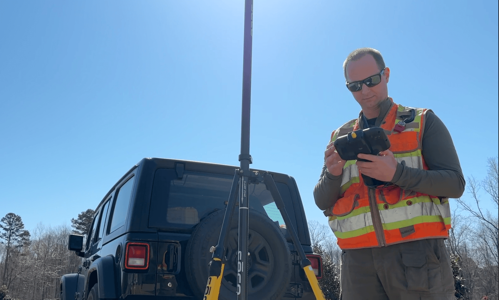
Nathan is drawn to geomatics because it is the intersection of mathematics, engineering, computation, and applied technology. He enjoys a hands-on approach to every aspect of a project from field acquisition to final deliverables.
Nathan lives in Union County, North Carolina near South Charlotte. He enjoys spending time with his wife and daughter and is an active member at Christ Covenant Church.