
Blackthorn Geomatics Logo
Blackthorn Geomatics
CapabilitiesCase StudiesContact

Case Studies

Featured Projects

Explore select projects in detail — scope, method, and deliverables.
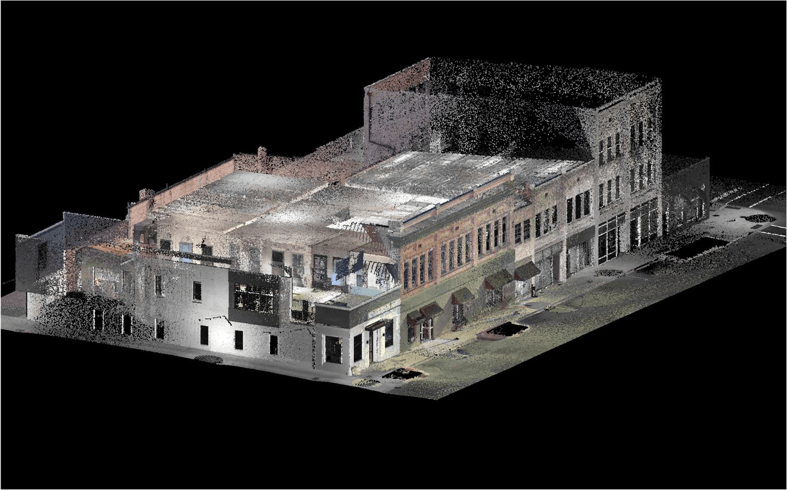
Colorized point cloud of the David Martin Law Office
HISTORIC PRESERVATION & ADAPTIVE REUSE SCAN

David Martin Law Office

Two historic buildings scanned one year apart, unified into a single calibrated point cloud.

Terrestrial LiDARHistoric PreservationAdaptive ReuseMulti-Year Dataset
View case study →
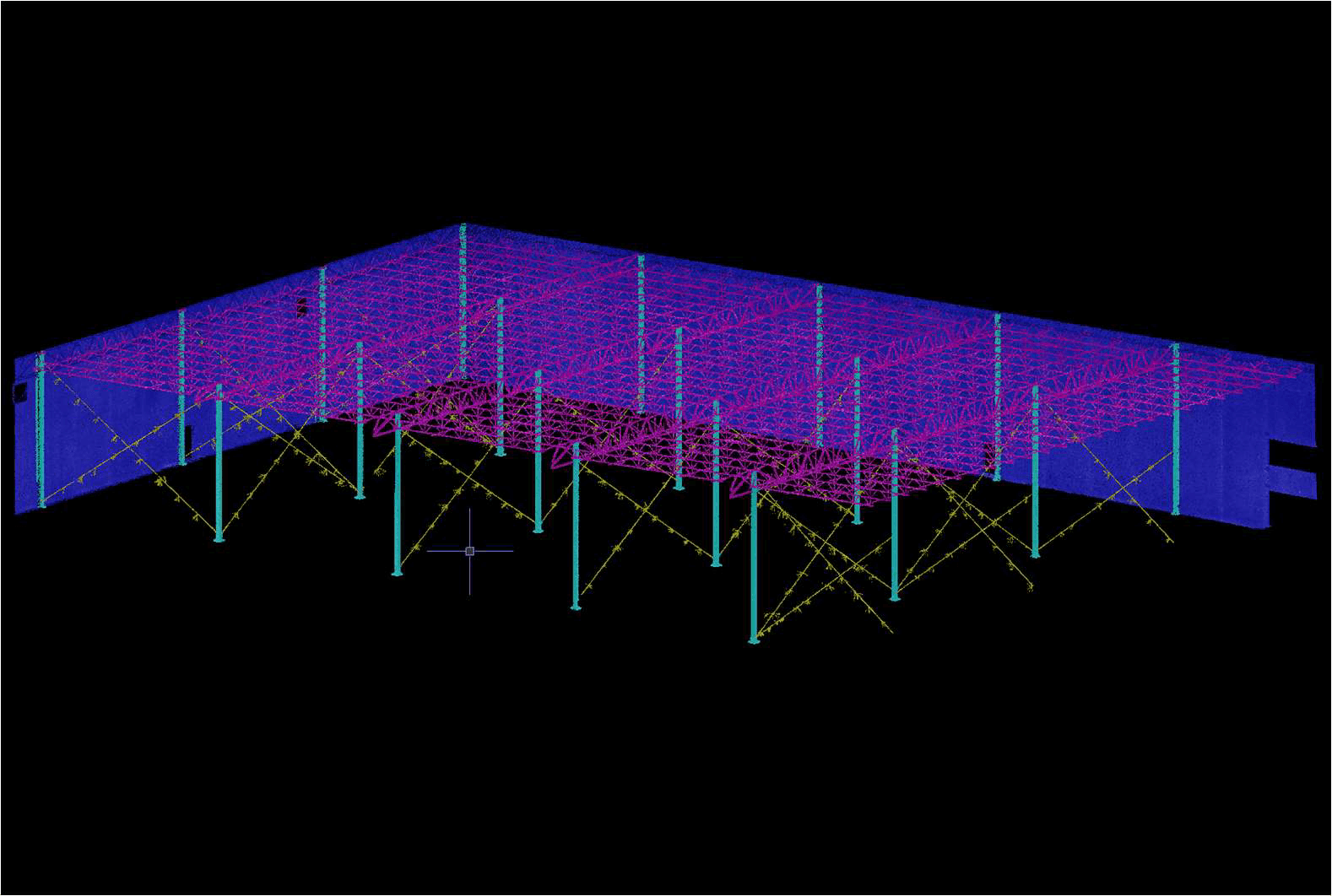
Colorized point cloud of the steel frame and roof structure
STEEL FRAME & PRECAST PANEL ALIGNMENT VERIFICATION

Hampton County Spec Building

A precast panel dispute, settled with one high-resolution LiDAR scan the whole team could trust.

Terrestrial LiDARFrame AlignmentPrecast PanelsDispute Resolution
View case study →

Contact Us

  • +1 (704) 960-2818
  • info@blackthorngeomatics.com
  • Monroe, North Carolina

Quick Links

  • Home
  • Capabilities
  • Case Studies
  • Contact
Blackthorn Geomatics Logo

Blackthorn Geomatics

Professional land surveying, aerial mapping, and geospatial services in North Carolina, South Carolina, and Virginia.

© 2026 Blackthorn Geomatics, PLLC. All rights reserved.
North Carolina Firm License No. P-2797

Website by Intrinsic Labs LLC