
David Martin Law Office
Interior & Exterior Terrestrial LiDAR Scan
HISTORIC PRESERVATION & ADAPTIVE REUSE SCAN
- LOCATION
- 109 & 117 Hampton Street Rock Hill, South Carolina
- CLIENT
- Ragona Architecture & Design, PLLC
- SCOPE
- Interior & exterior scan, two buildings, 2024 + 2025
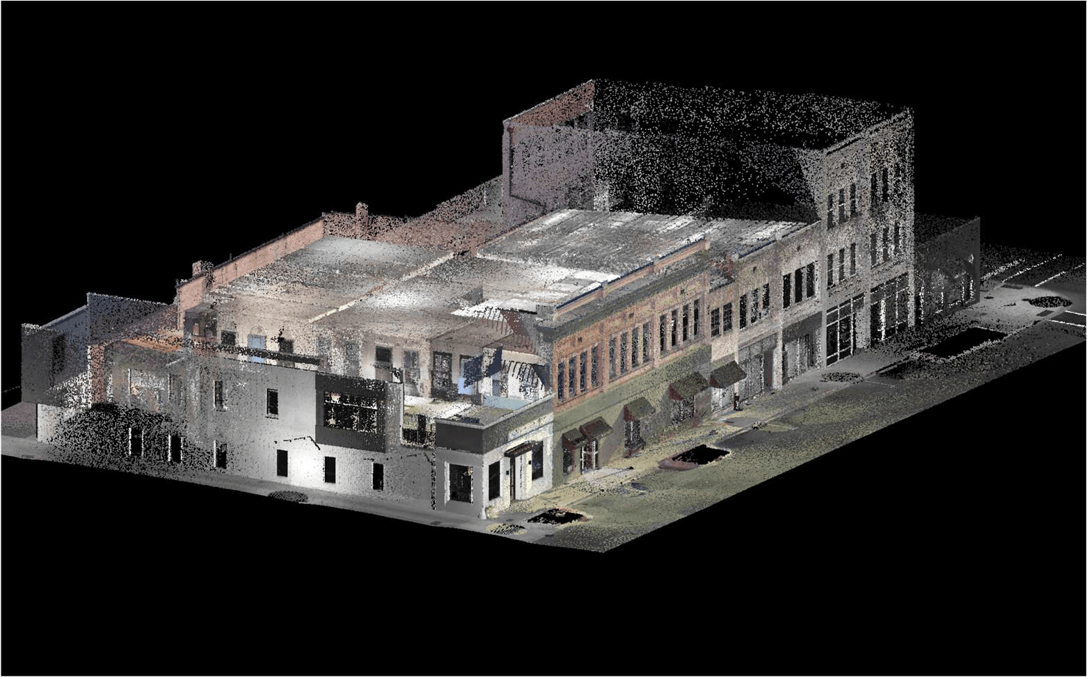
The David Martin Law Office project: two historic buildings, two datasets from two different years, unified and delivered as a single calibrated point cloud.
RAGONA ARCHITECTURE & DESIGN, PLLC (RAD) engaged BLACKTHORN in 2024 to scan the David Martin Law Office for the purpose of historic preservation and adaptive reuse design. Afterward, the owner of 109 Hampton Street purchased the adjoining property at 117 Hampton Street with plans of renovating both buildings. In 2025, RAD engaged Blackthorn to scan 117 Hampton Street and merge the two projects into a single dataset.
Blackthorn imported control point clouds from the previous 2024 project, acquired additional scan data for 117 Hampton Street, and calibrated both as a single dataset. RAD gave Blackthorn Notice-To-Proceed on Thursday, 11 September 2025. Blackthorn delivered a calibrated point cloud to RAD the morning of Monday, 15 September 2025.
2024 David Martin Law Office
Historic Preservation & Adaptive Reuse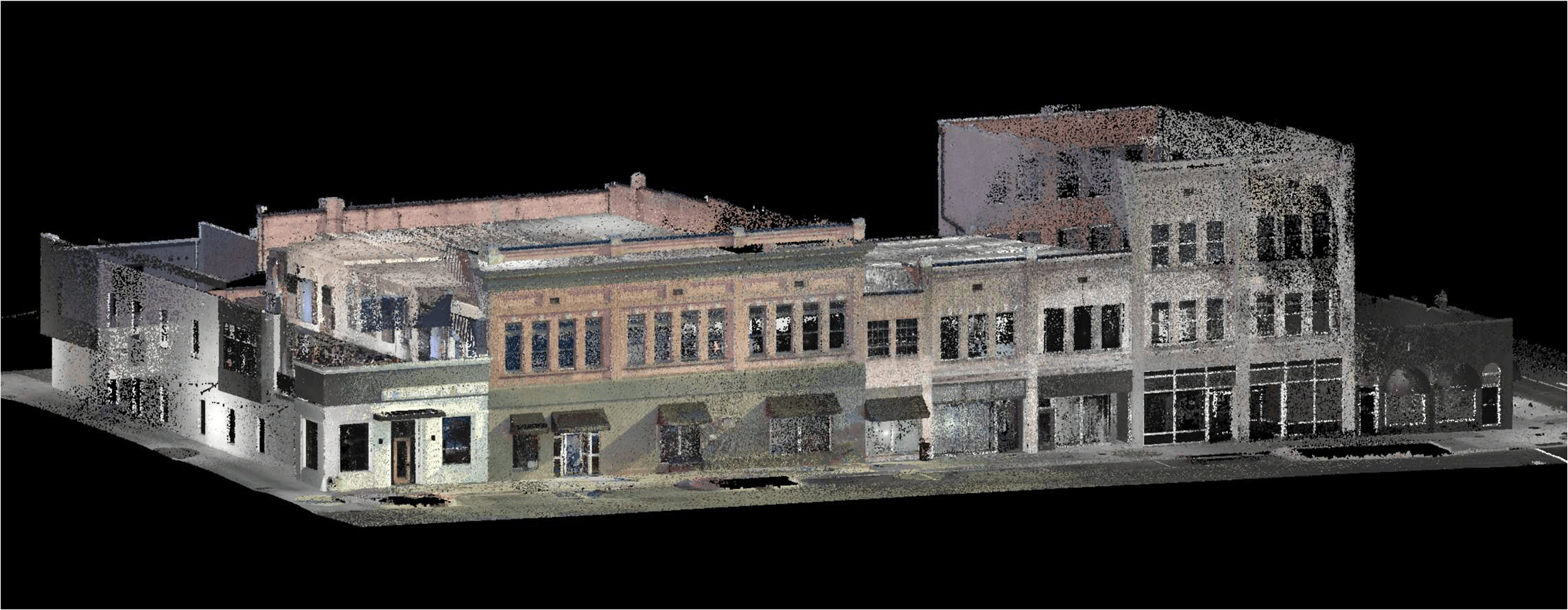
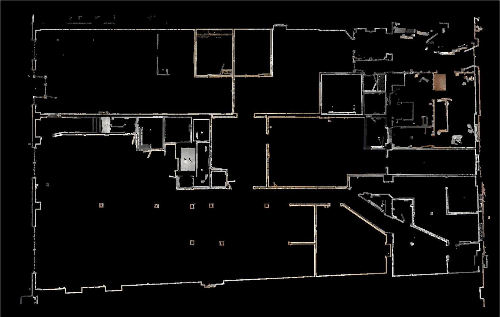
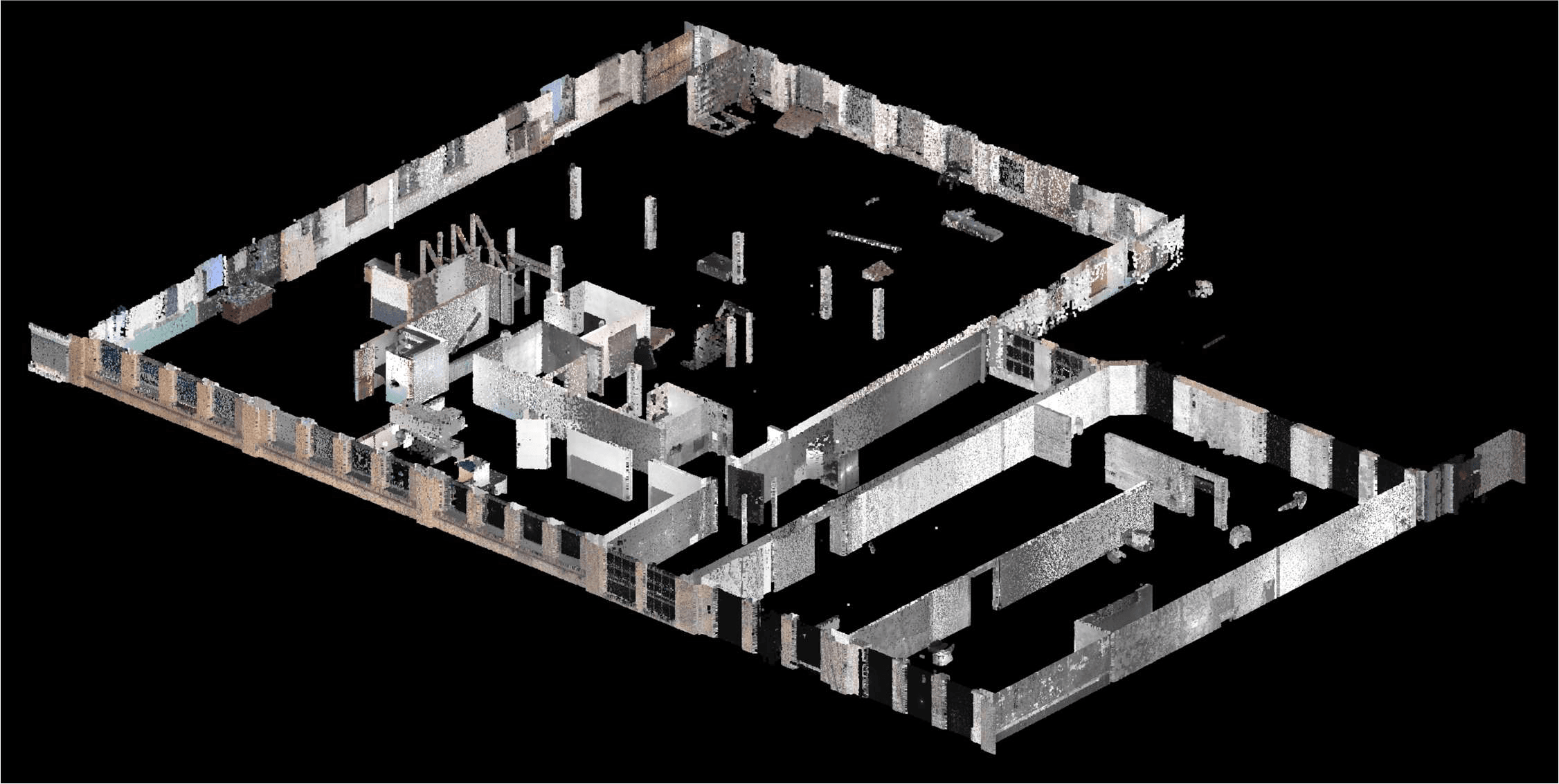
2025 David Martin Law Office Extension
Historic Preservation & Adaptive Reuse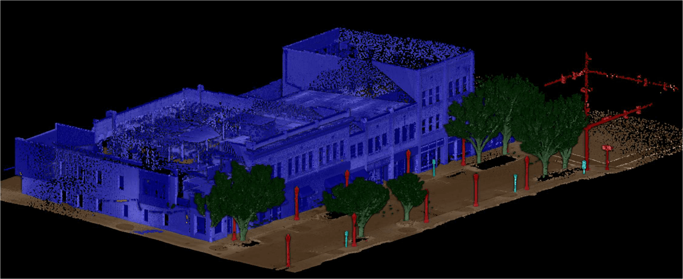
Calibrating two datasets, one year apart, at a shared tie point
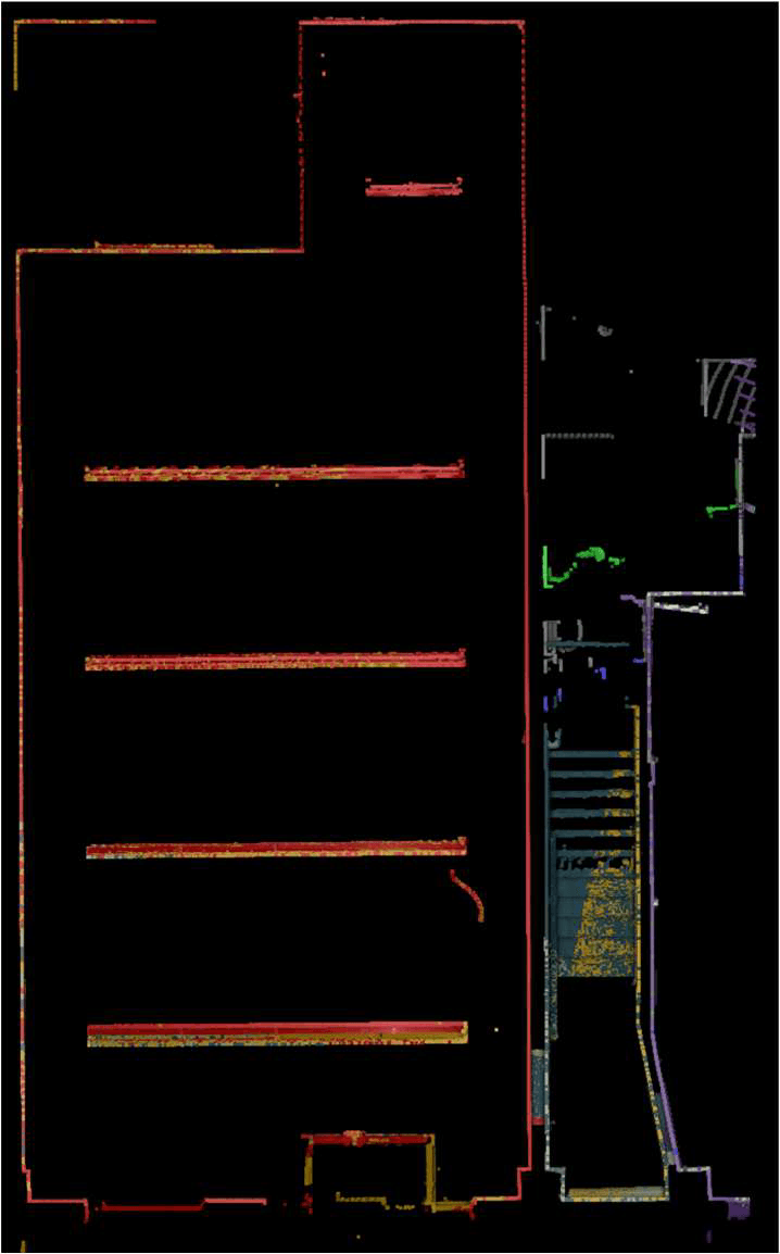
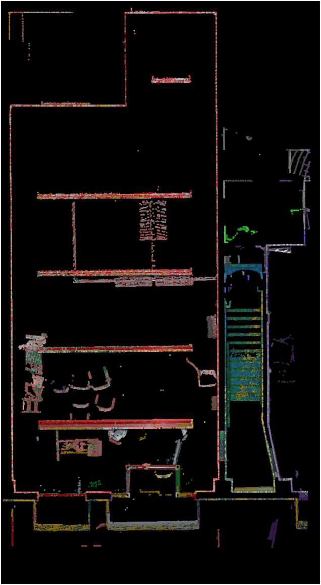
Below is a perspective image of the same overlapping datasets shown above. The perspective image is the same horizontal cross section (including vertical thickness) as shown above and illustrates alignment accuracy. Also, the room was filled with debris for the 2024 scan and cleared for the 2025 scan.
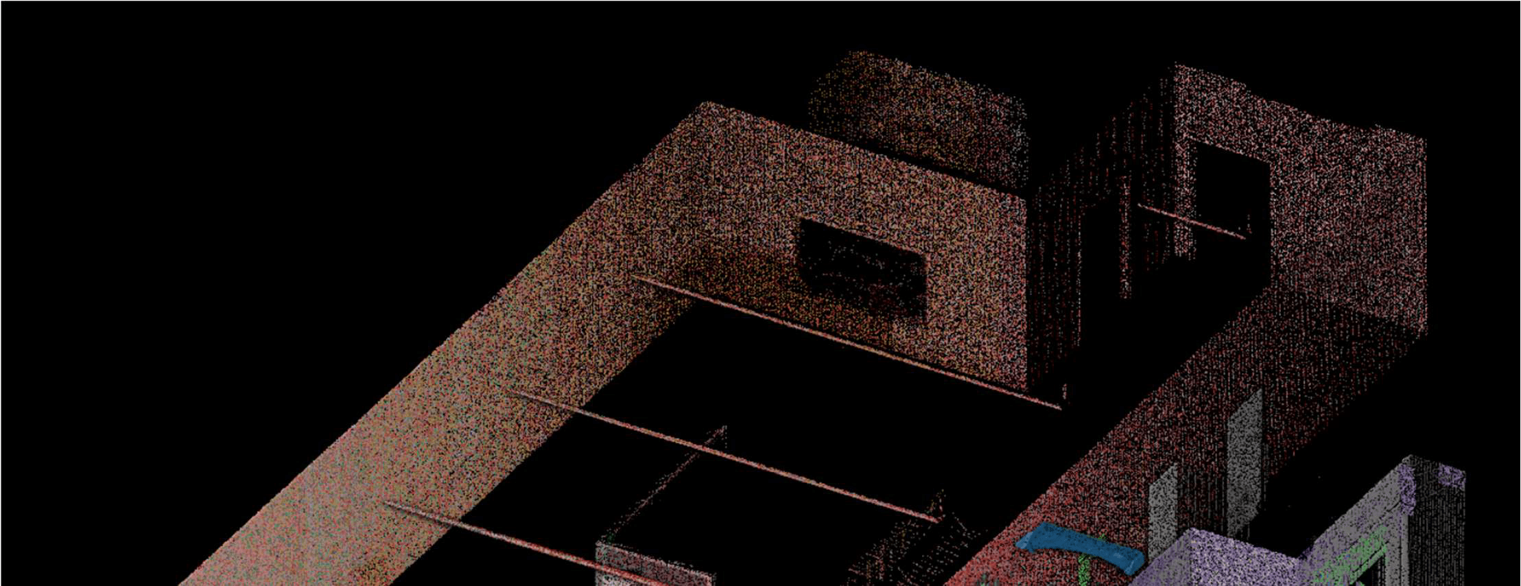
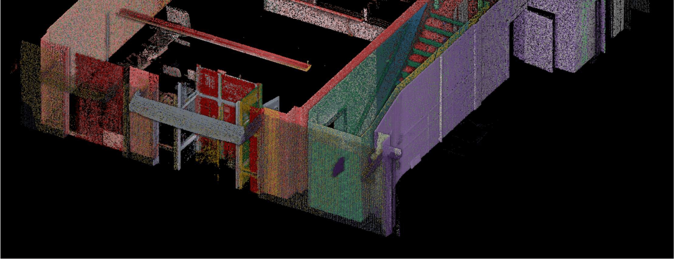
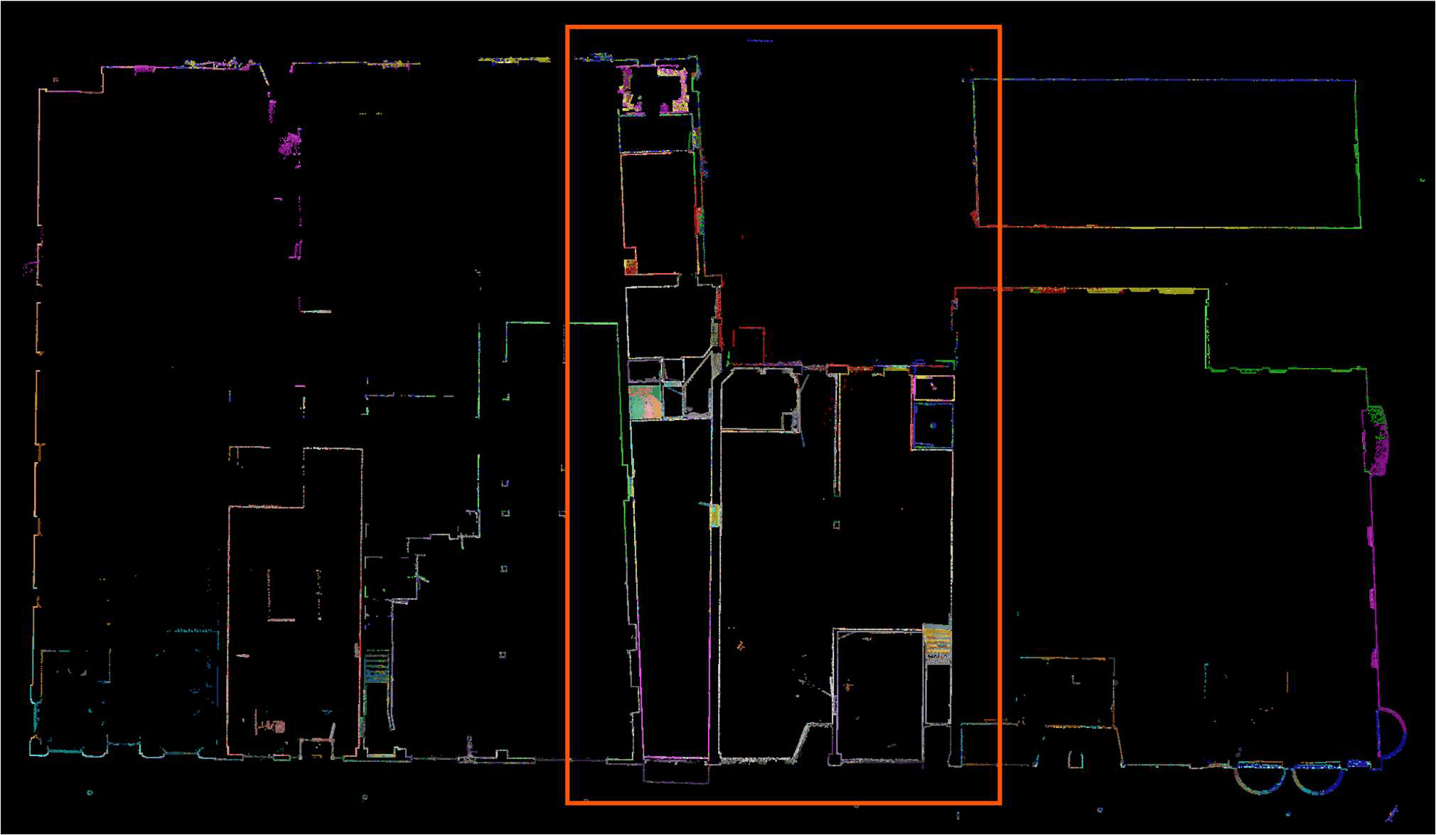
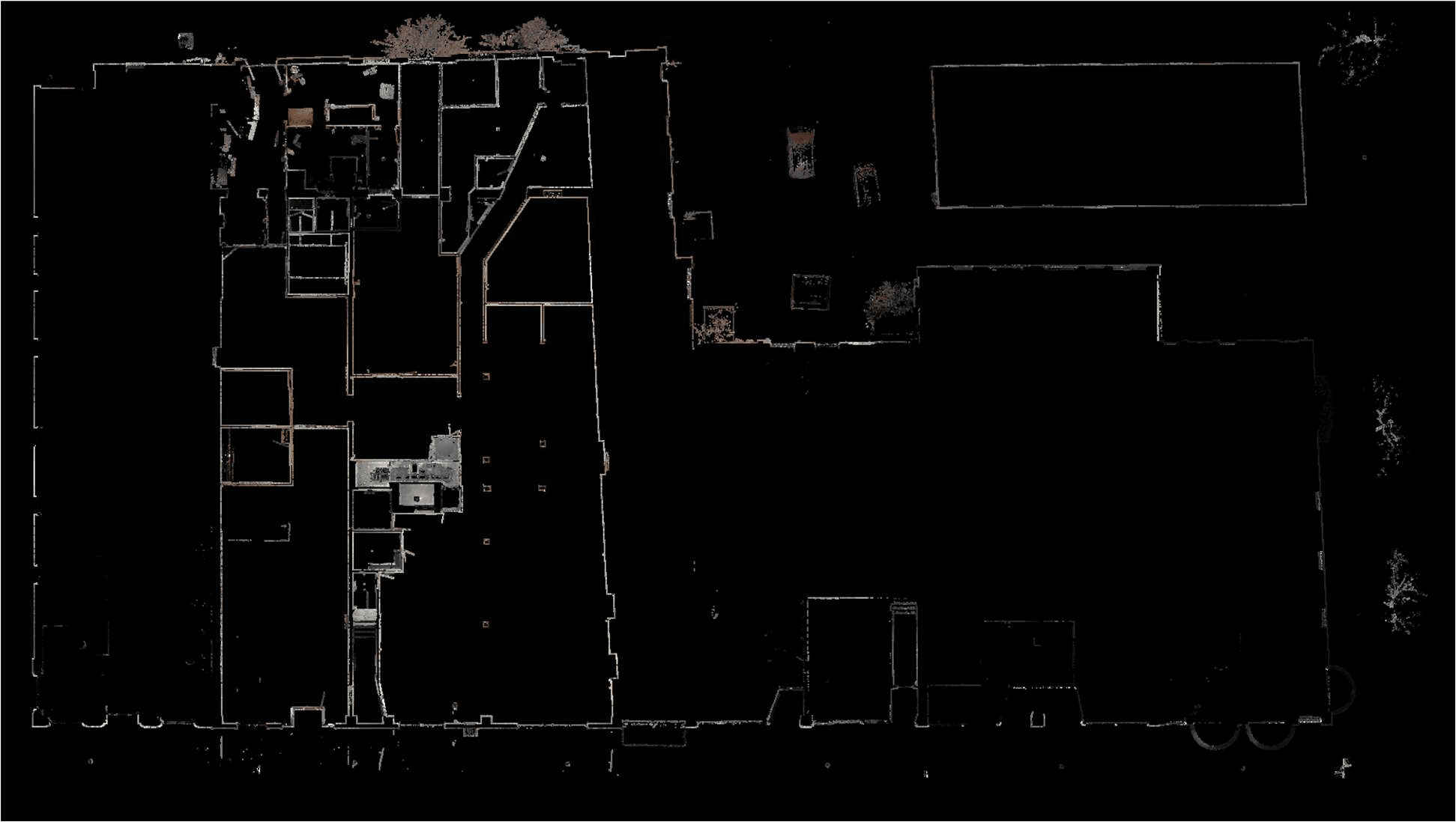
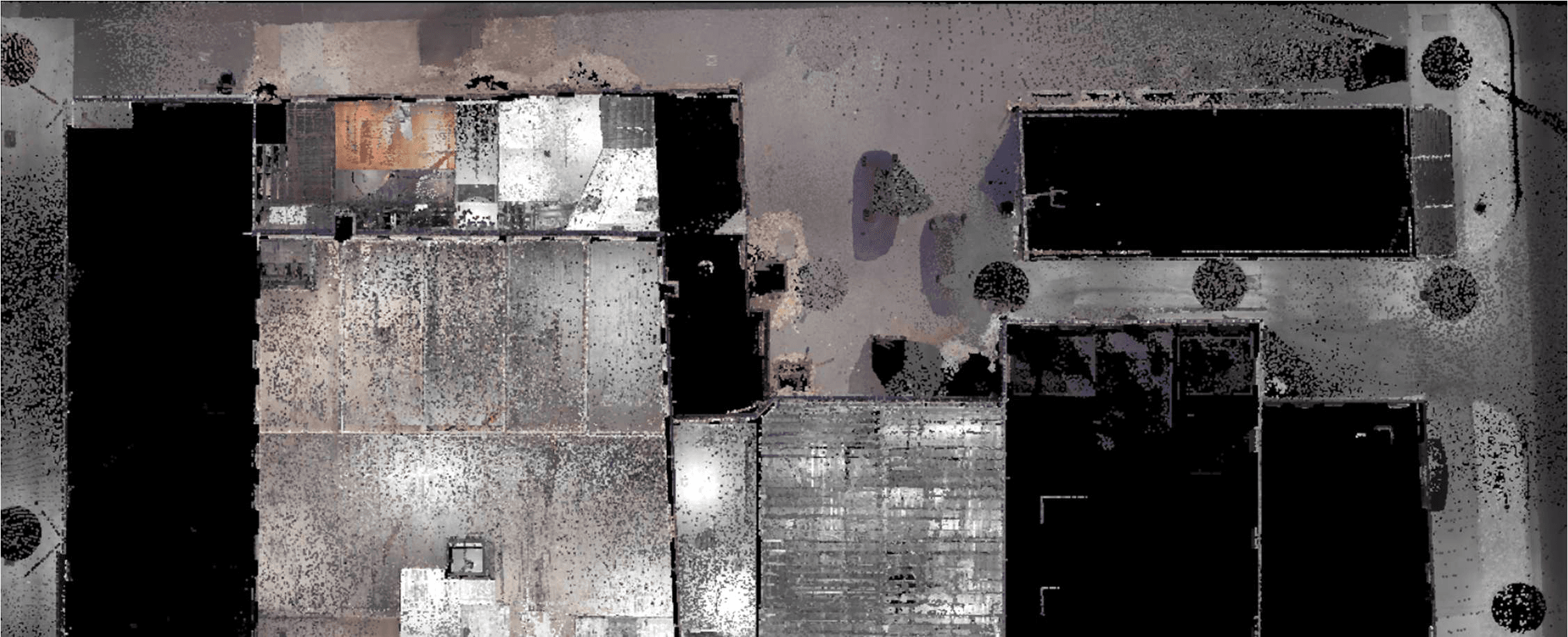
The following are horizontal slices of the 2025 dataset viewed top down. Each slice is approximately 3 feet thick. RAD’s deadline for this project was very tight. To meet their deadline, RAD requested Blackthorn collect black & white intensity scans only. No calibrated imagery was taken in 2025. Also, RAD requested Blackthorn to calibrate dataset only and not to classify the point cloud. This is why tables, chairs, and other temporary objects are visible. Blackthorn can provide a fully classified point cloud with all temporary objects and noise removed.
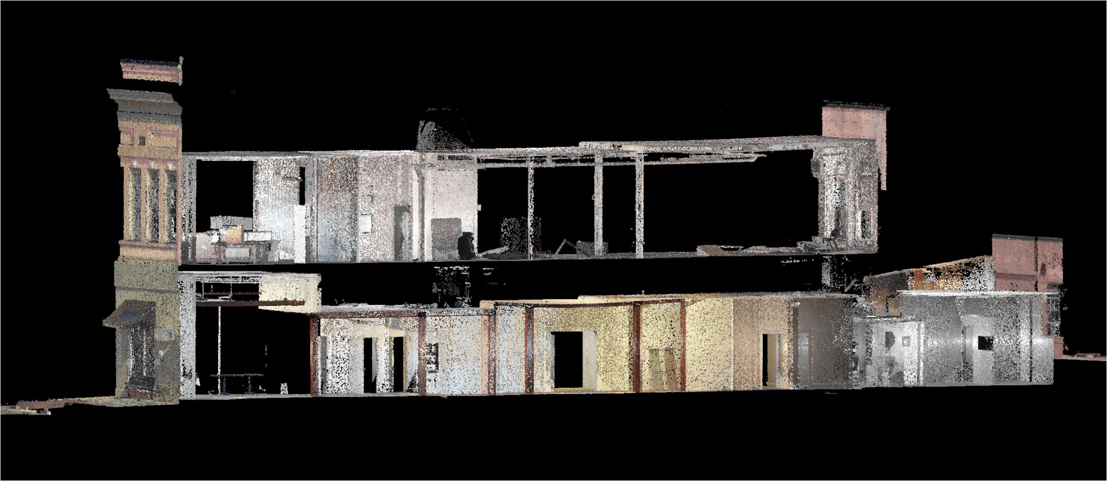
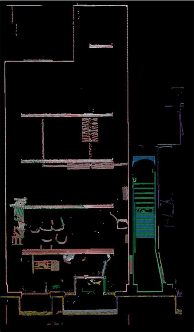
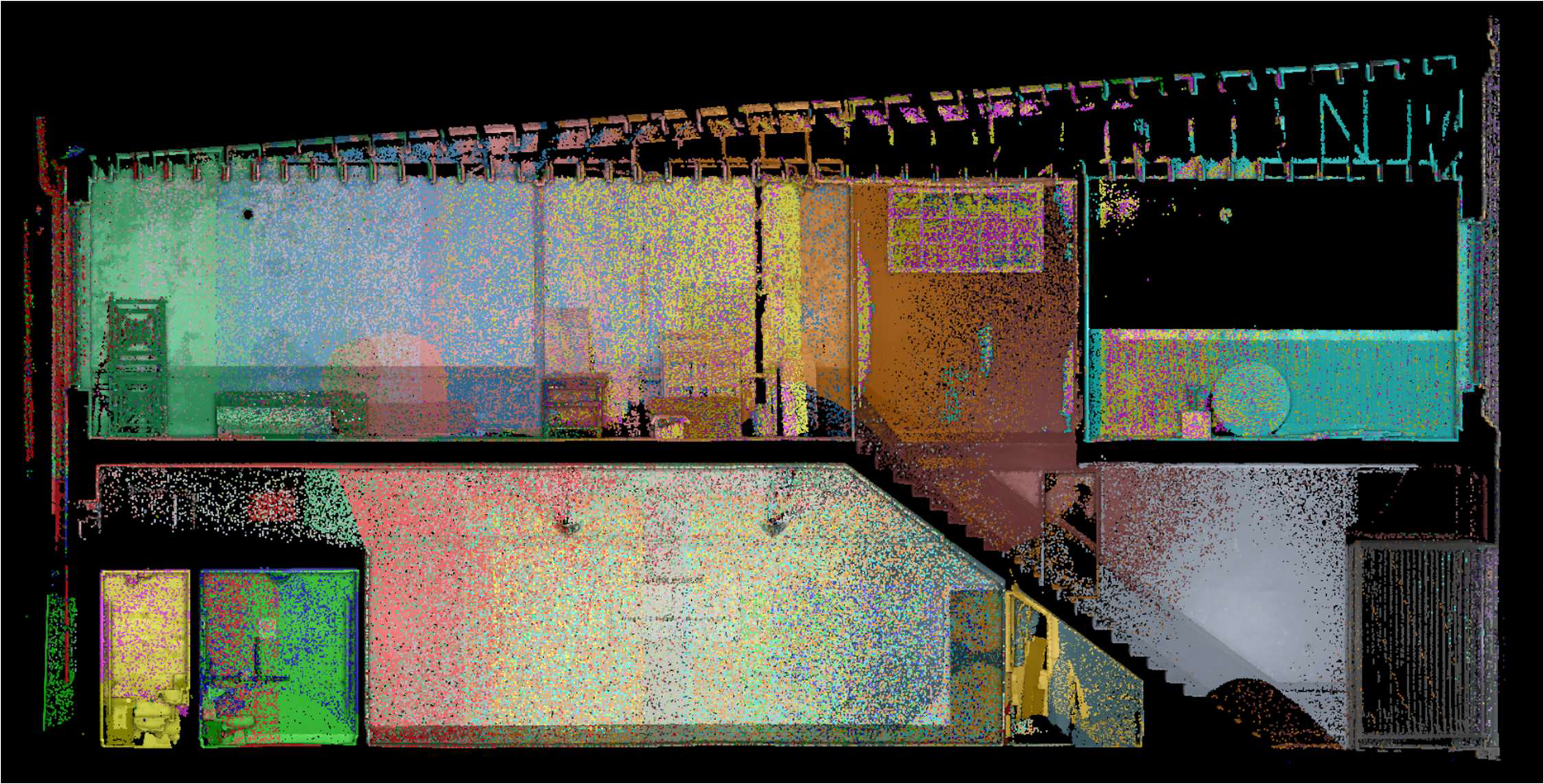
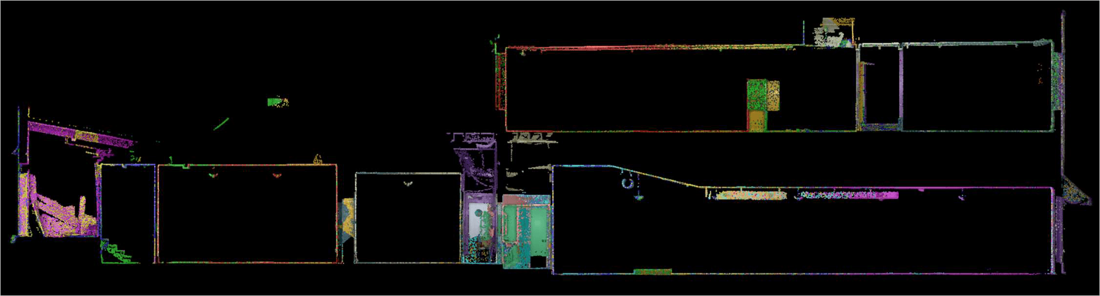
The following vertical cross sections illustrate the calibration consistency between the 2024 dataset (upper floor and top of stairs to lower landing) and the 2025 dataset (lower floor from rear wall to under stairs):
Equipment
- Onboard calibrated cameras for colorized point clouds & panoramic images
- 200 – 600mm zoom lens for capturing details in remote areas
- 24mm fixed length lens for capturing façade and interior spaces
Deliverables
Stop Measuring. Start Designing.
Manual measurements are slow, miss critical geometry, and send teams back to the field. One LiDAR scan mitigates all that risk for less than the redesign cost of a single mistake.
The David Martin Law Office project: two historic buildings, two datasets from two different years, unified and delivered as a single calibrated point cloud.
Every project is unique. Let’s talk about yours.