
Hampton County Spec Building
Frame & Panel Alignment Scan
STEEL FRAME & PRECAST PANEL ALIGNMENT VERIFICATION
- LOCATION
- Early Branch, South Carolina
- BUILDING
- 50,000 SF commercial spec building
- SCOPE
- High-resolution terrestrial LiDAR alignment scan
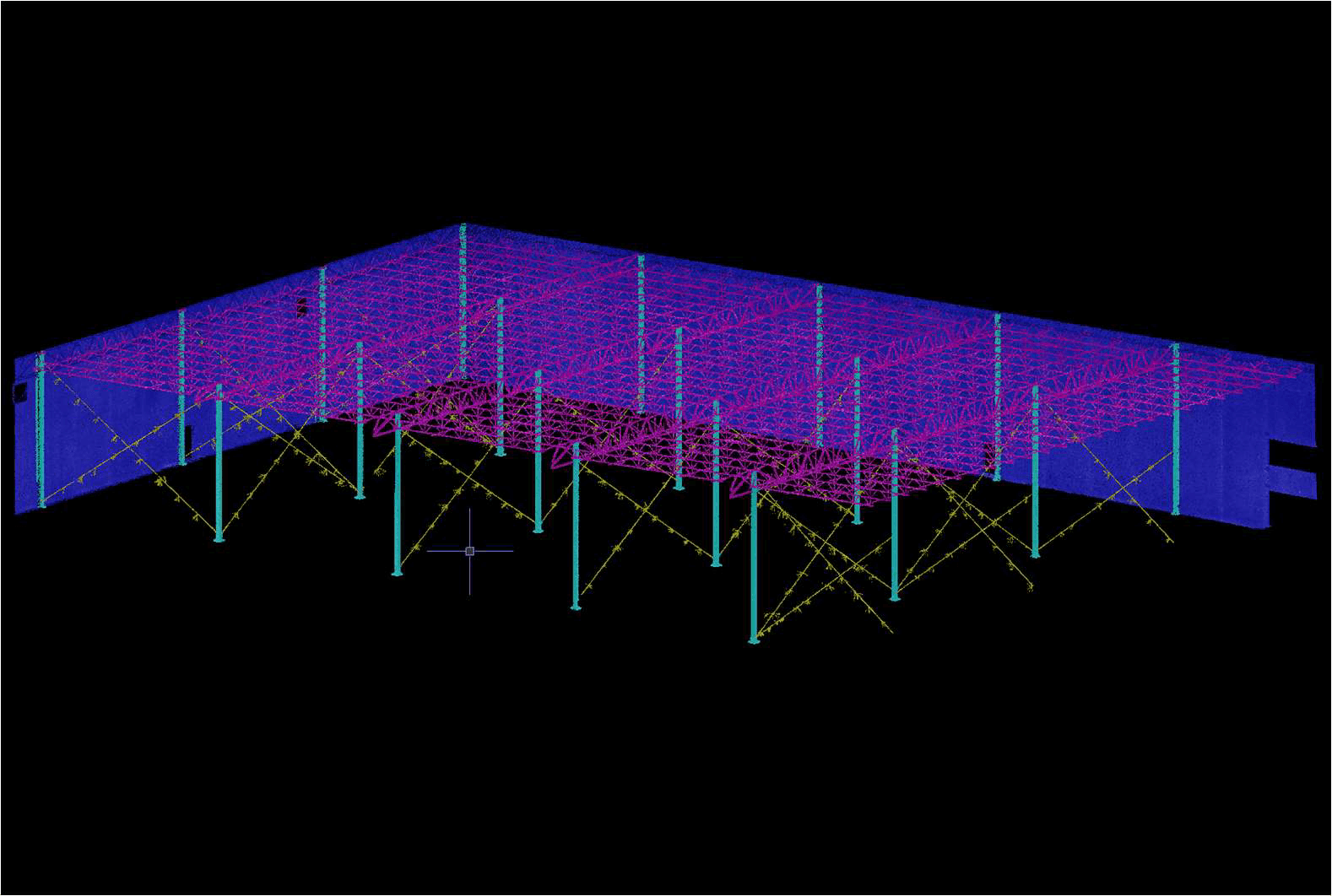
When 35-foot precast panels would not seat against the steel frame, a single high-resolution LiDAR scan gave the construction team the objective, defensible data to settle the dispute and keep building.
This project united a regional general contractor and a national steel building manufacturer as a single construction team, with one shared goal: get a 50,000 SF commercial spec building to market as quickly as possible. When the panels failed to fit the frame, the concrete panel manufacturer disputed responsibility — leaving the construction team needing objective, irrefutable data to answer questions and keep the project moving.
Panels didn't fit. Site was a bog.
Steel frame complete. 35-FT precast panels arrived. When placed, panels don't match frame as planned. What went wrong? Is the frame right? Is it leaning or warped? Are the panels correctly sized and installed?
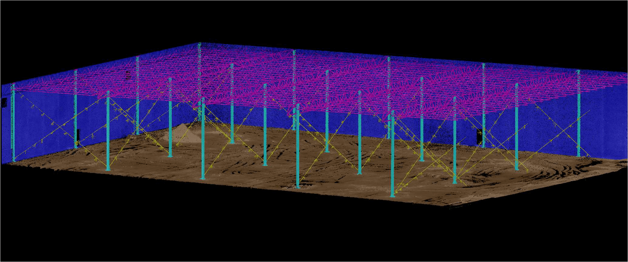
No concrete floor. Winter rains turned building into a bog. Ground conditions compounded by a hydraulic sheepsfoot thwarted one survey firm's attempt to verify alignments using total stations.
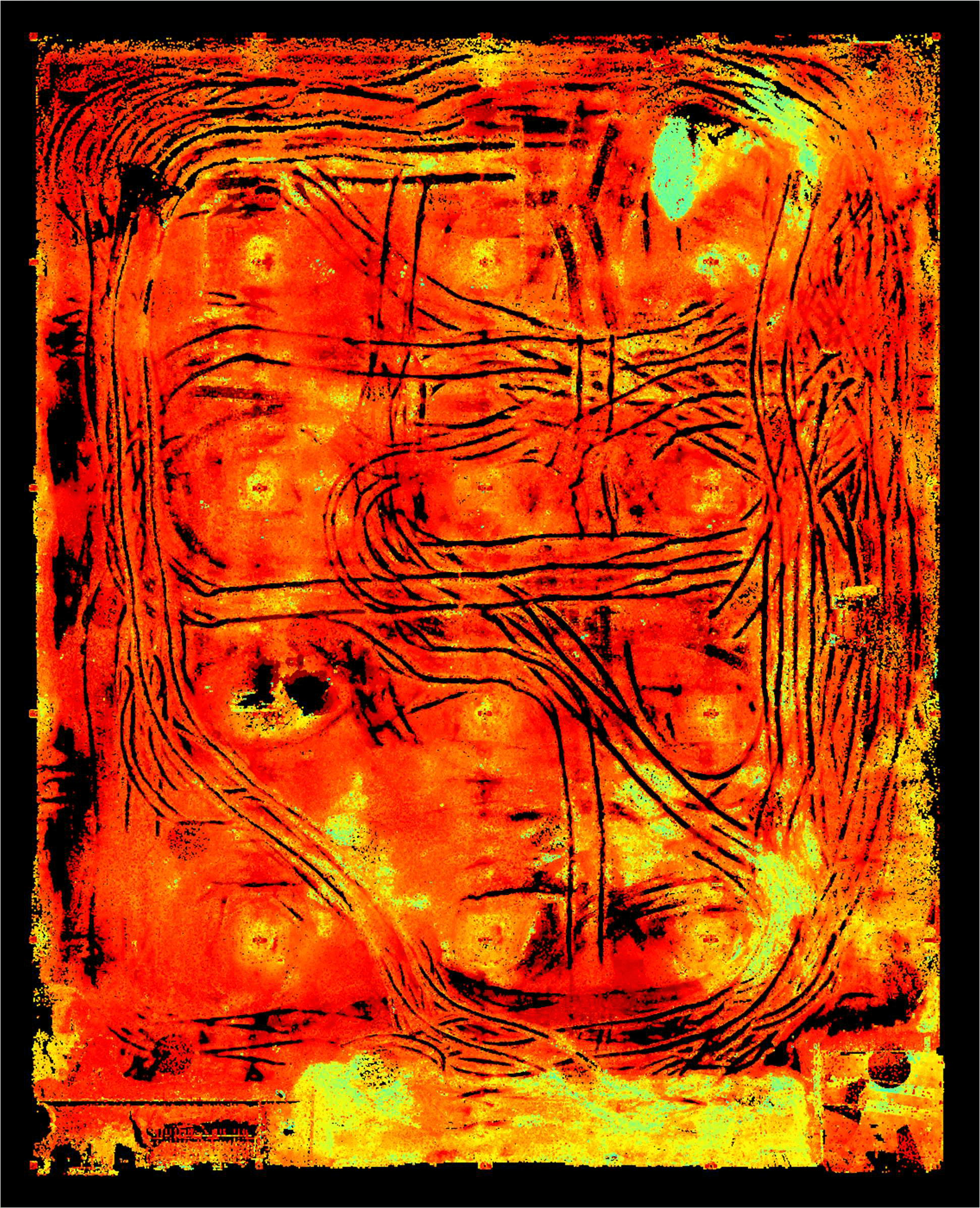
High-resolution terrestrial LiDAR
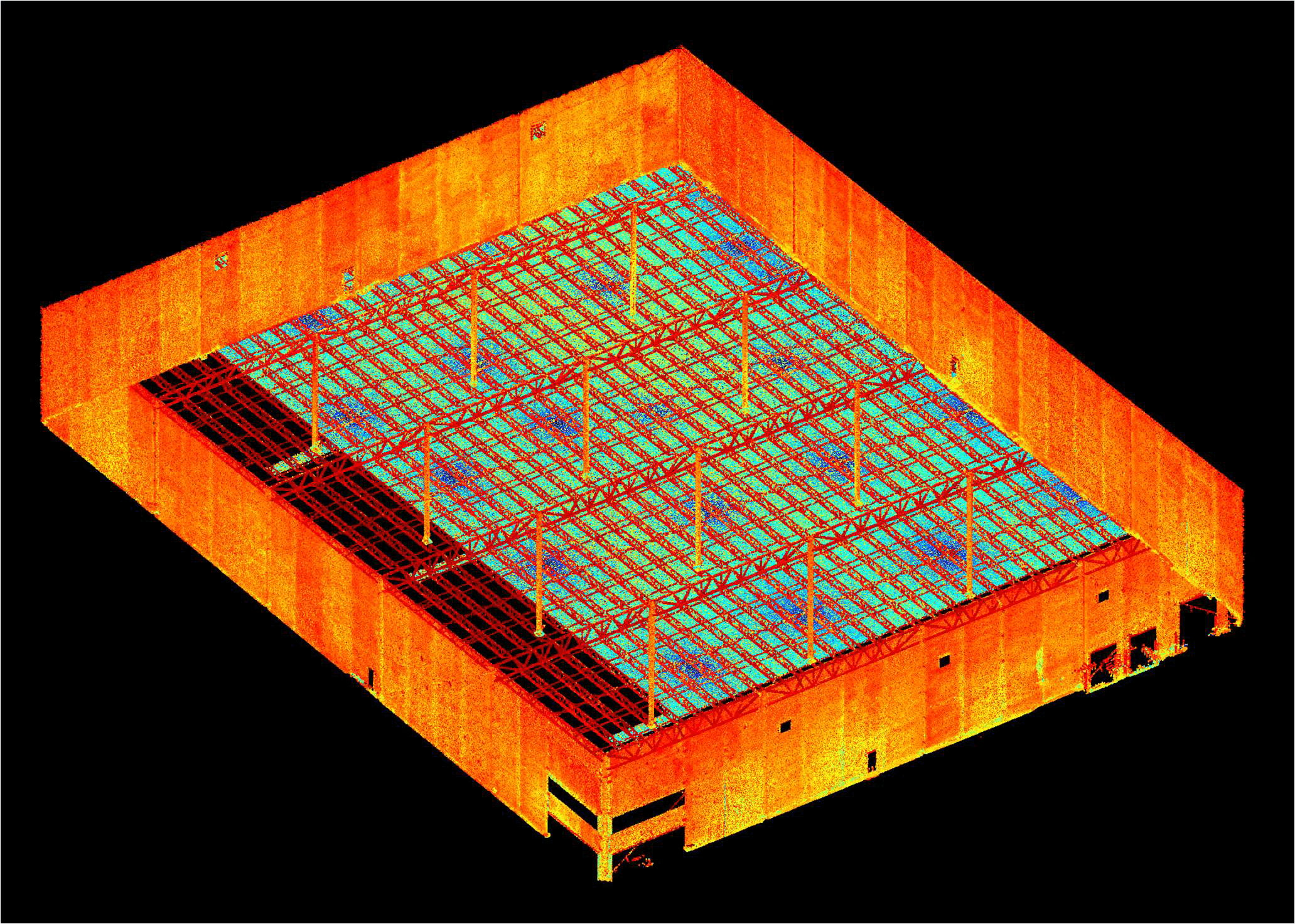
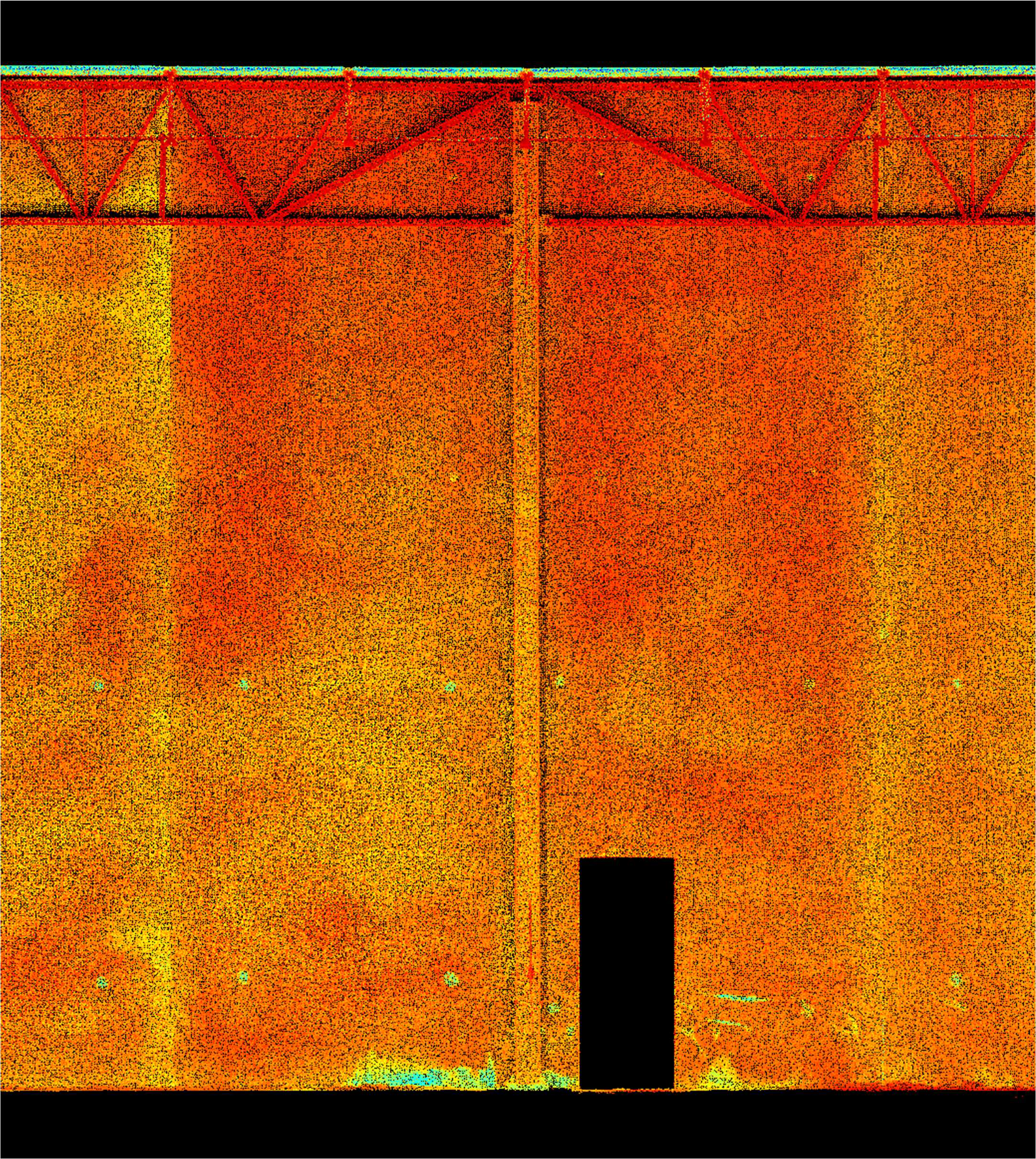
Blackthorn acquired high-resolution terrestrial LiDAR scans after work hours for maximum data with zero operational interruption.
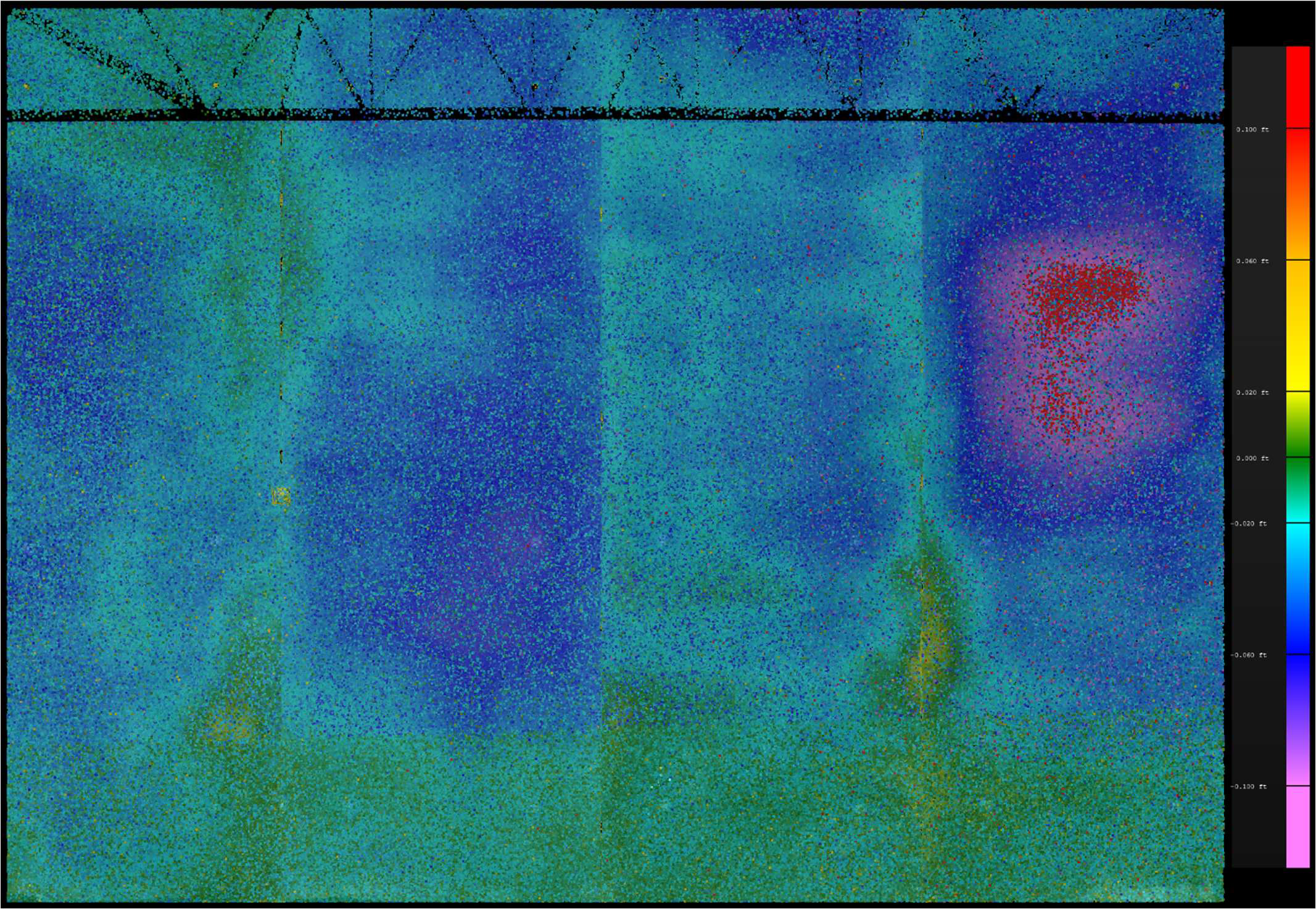
The heat map above shows each concrete panel face deviation relative to a true vertical plane. Dark green indicates areas of 0.0 FT deviation from true vertical. Red indicates areas of +0.1 FT and Magenta indicates -0.1 FT. Individual panel misalignment and surface deformation are visually striking. Red on Magenta patch indicates a leaning panel with concave surface deformation and surface debris.
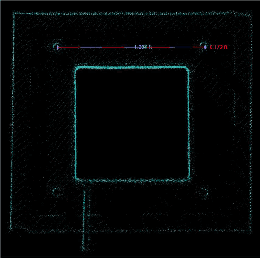
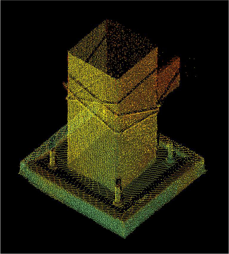
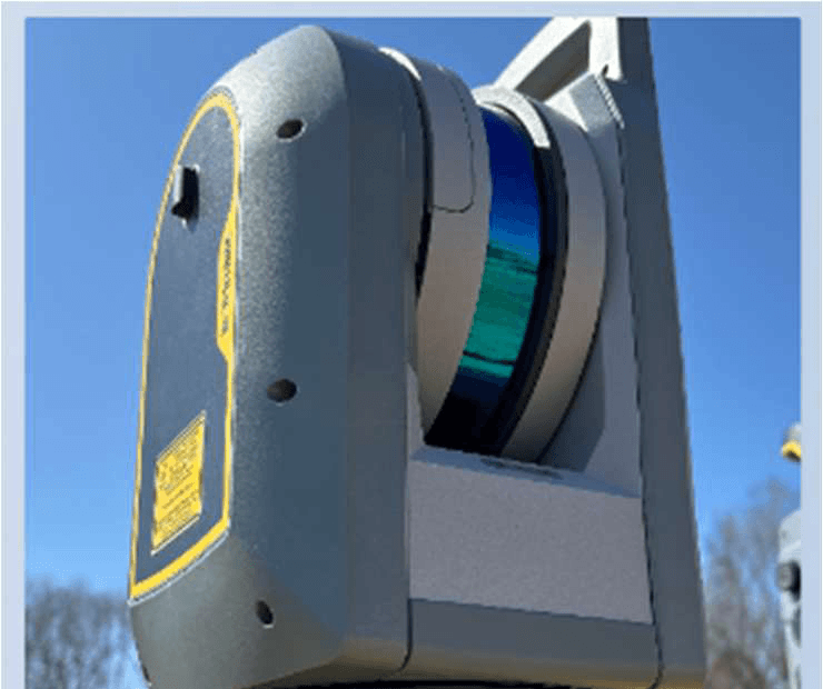
Equipment
Deliverables
Objective data, agreed by all parties
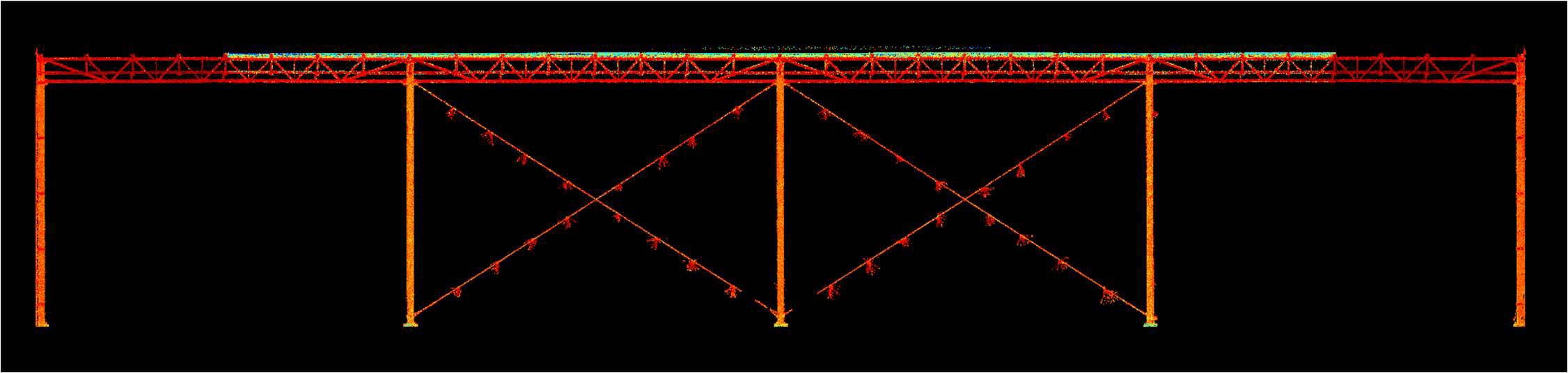
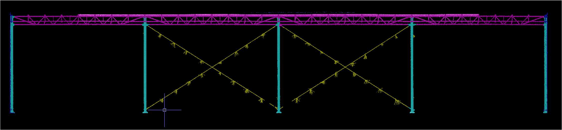
Bringing Blackthorn's data into client specified software the following was discovered:
When you have to know.
When conventional methods fall short — bog conditions, tight timelines, or a dispute that demands an answer all parties will accept — terrestrial LiDAR delivers. Blackthorn Geomatics provides high-resolution data that is responsive, actionable, and defensible. If your next project requires more than a CSV file with a handful of coordinates, let's talk.